James Spann: Rain comes to south Alabama Tuesday, spreads across state Wednesday
Published 6:45 am Tuesday, October 29, 2019
SUN FOR SOME, CLOUDS FOR OTHERS: Satellite images this afternoon show a well-defined clearing line across Alabama. Clouds are hanging tough generally west of a line from Lake Guntersville to Tuscaloosa to Livingston. Temperatures there are only in the low 60s. For the rest of the state, the sky is sunny with 70s.
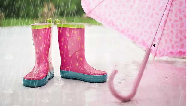
RAIN RETURNS: Clouds will increase Tuesday, and rain is likely over parts of east and southeast Alabama. The best risk of rain will be south of a line from Roanoke to Montgomery to Gulf Shores. North Alabama most likely will stay dry, but with only a limited amount of sun. The high will be in the low 70s for most places. Rain will increase statewide Tuesday night as a warm front lifts northward.
Wednesday will be a cloudy day with occasional showers and possibly a thunderstorm. It won’t rain all day, but a shower could come at any hour. The high will be between 70 and 75 degrees.
HALLOWEEN: Rain is likely during the day Thursday ahead of a cold front. The rain will end from west to east during the late afternoon and Thursday night. The best chance of dry trick-or-treating during the evening, for now, seems to be over the western half of the state; rain could linger over east Alabama through 9 or 10.
Rain amounts from Tuesday through Thursday night will be in the 2- to 3-inch range for much of Alabama, another beneficial rain event for the state. Odds of severe weather on Thursday, for now, look low with very limited instability and a saturated atmosphere. The Storm Prediction Center for now has a marginal risk defined for areas west of Alabama.
FRIDAY AND THE WEEKEND: The coldest air so far this season will invade Alabama. Friday will be sunny; we start the day in the 31- to 36-degree range, followed by a high in the mid 50s. The weekend will remain dry with cool days and cold nights. Many places will see frost Saturday and Sunday mornings, with freezing temperatures for the colder pockets. The high will be in the upper 50s Saturday, followed by low 60s Sunday.
NEXT WEEK: At the moment much of the week looks dry with a slow warming trend.
TROPICS: Pablo, in the North Atlantic, is now post-tropical. The rest of the Atlantic basin is quiet.
RAIN UPDATE: Birmingham’s rain total for the year is 40.93 inches; the deficiency is 3.02 inches.
TIME CHANGE: Daylight Saving Time ends this weekend; we will set the clocks back one hour late Saturday night. Sunset time Sunday, Nov. 3, will be 4:53 p.m.
Republished from AlabamaNewsCenter.com